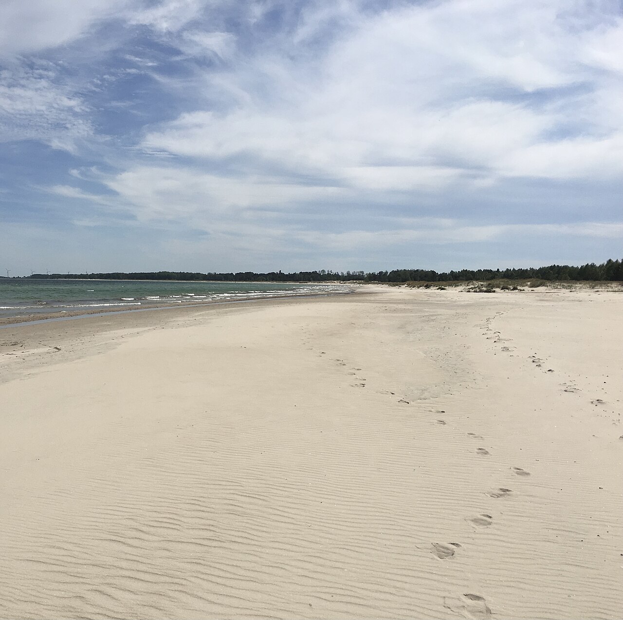
Swim at Böda sand
Northern Öland's east coast has kilometre after kilometre of sandy beach with shallow water and pine forest behind the dunes. Böda sand is the best known and perfect for families with children.
The island of sun and wind · Sweden
Your guide to Öland
Öland is Sweden's second-largest island and one of the country's best-loved summer destinations. The island is almost 140 kilometres long and just under 20 kilometres across at its widest. From Kalmar it's easy to cross over the Öland Bridge. Long sandy beaches await, along with a flat landscape of windmills and stone walls and more hours of sunshine than most places in Sweden.
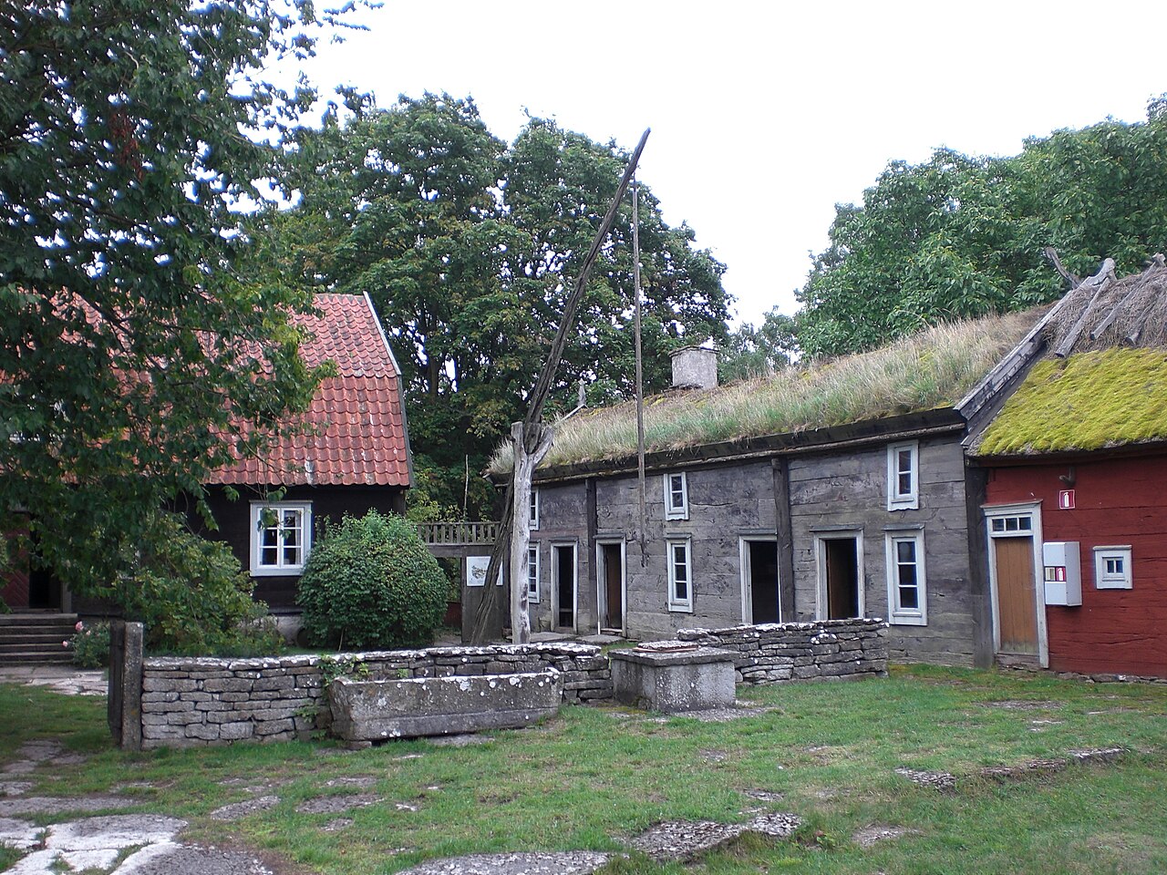
Southern Öland is shaped by Stora Alvaret, a bare limestone plain with orchids and grazing cattle. Together with the surrounding villages and farmland, the alvar is part of Öland's agricultural landscape, which is on UNESCO's World Heritage List. At the very southern tip rises the Långe Jan lighthouse at Ottenby, where migrating birds rest in spring and autumn.
In the middle of the island lies Borgholm, with its mighty castle ruins and Solliden, the royal family's summer palace. Northern Öland has a different character, with pine forests, sea stacks and long sandy beaches at Böda. There's plenty of room here for families who want to swim, camp and enjoy the summer.
July is high season, when the island fills with summer visitors and events. If you'd like it calmer, come in early summer, when the limestone plain is in flower, or in autumn, when the Öland Harvest Festival at the end of September draws visitors with farm shops, pumpkins and crafts. Out of season many restaurants are closed, but the landscape and nature have plenty to offer all year round.
Things to do
Northern Öland's east coast has kilometre after kilometre of sandy beach with shallow water and pine forest behind the dunes. Böda sand is the best known and perfect for families with children.
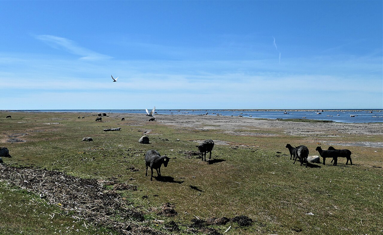
Ottenby on the southern cape is one of Sweden's best-known birdwatching sites, especially during the spring and autumn migrations. Bring binoculars and walk along the coastal meadows among grazing sheep.
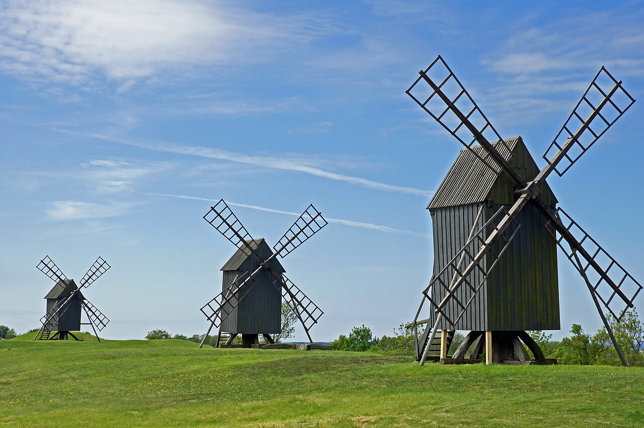
Öland is flat and the smaller roads are quiet, so cycling is a great way to see the landscape. Along the way you pass stone walls, old villages and wooden windmills.
Pack right
Best May–September
-1–22 °CÖland is one of the sunniest places in Sweden, with warm summer days and less rain than the mainland. It's often windy, and winters are mild but grey and blustery.
Compare hotels and apartments on the map, with current prices.
The map loads from Stay22 only when you click. Stay22 may then set cookies and collect information about your browser. Privacy
Plan your trip
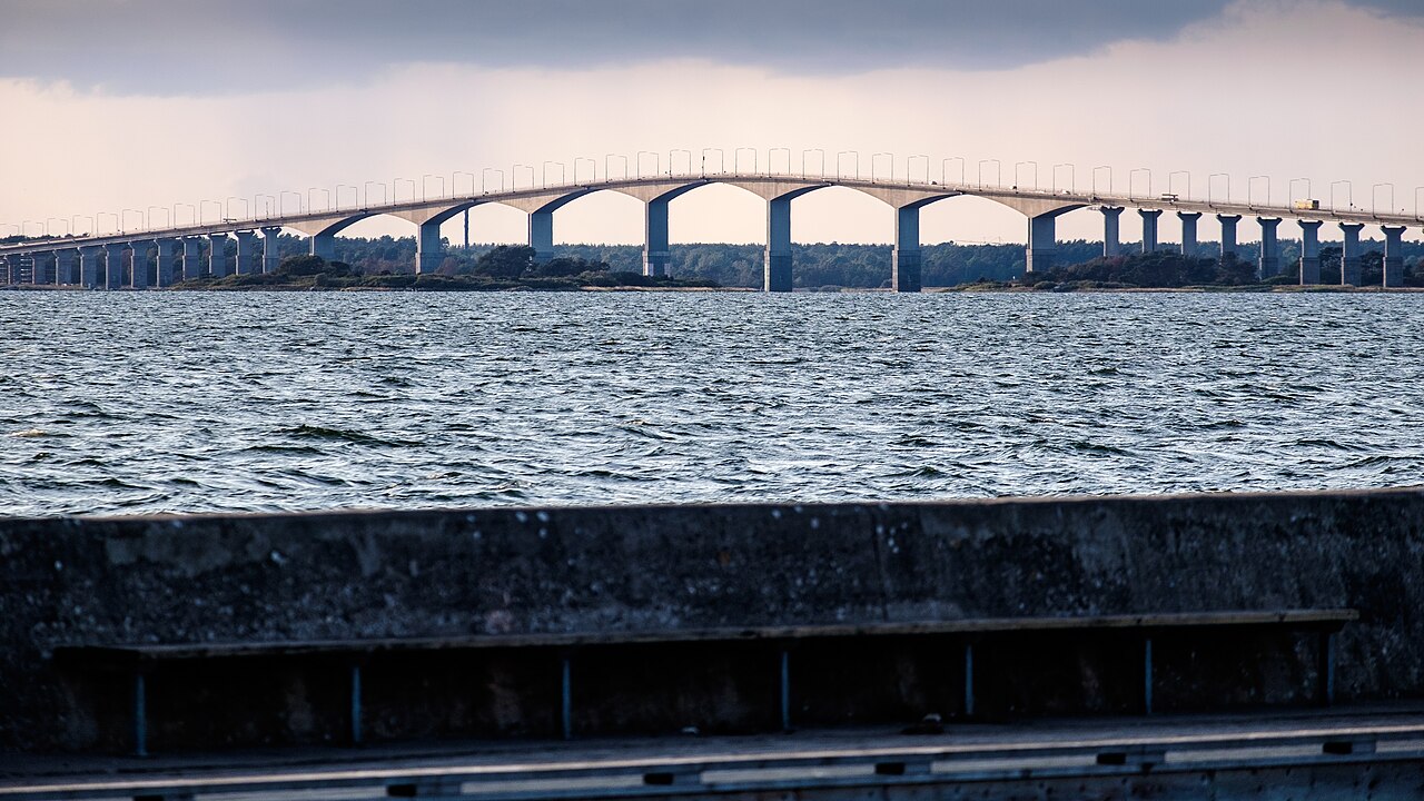
The quickest way is to fly to Kalmar Öland Airport (KLR), just west of Kalmar, which has domestic flights from Stockholm. Trains also run to Kalmar from Copenhagen Airport, Malmö and Stockholm. From Kalmar, the six-kilometre Öland Bridge leads to the island. It's free to cross, and regional buses run over it. By car, Kalmar is about four hours from Stockholm or Gothenburg.
Check current departures and prices before you travel.

Öland has plenty of campsites, cabin villages and hostels, and many visitors rent a summer house for a week. Borgholm and Färjestaden have hotels, and around the island there are bed and breakfasts in old farmhouses. Around Böda in the north are large family campsites by the beaches, while southern Öland is quieter and close to the limestone plain.
Book early if you're coming in July, around Victoria Day or during the Harvest Festival, when almost everything is booked up.
The big and the small
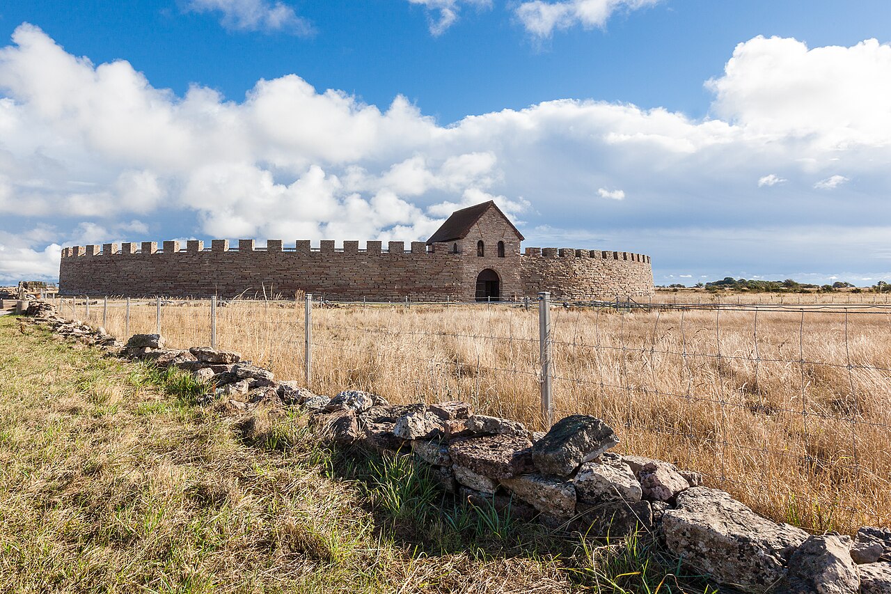
The round fort in southern Öland was used in several periods from the Iron Age to the Middle Ages. After major excavations, parts of it have been rebuilt, and in summer the museum and activities for children show what life in the fort may have been like.
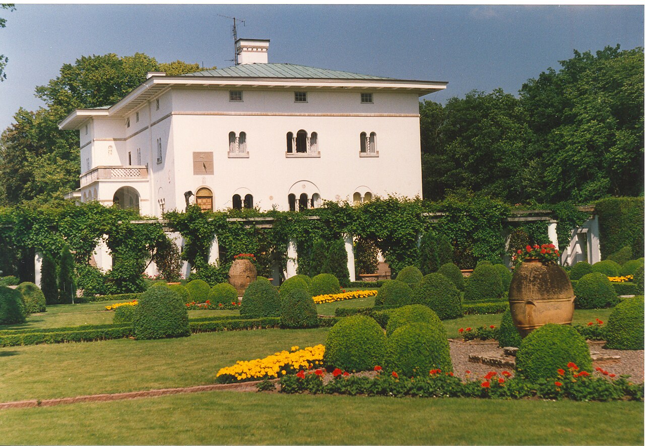
The royal family's summer palace just south of Borgholm was built for Queen Victoria in the early 20th century. The palace itself is private, but the park with its several different gardens is open to visitors in summer. On 14 July, Crown Princess Victoria's birthday is celebrated here, and the island is packed.
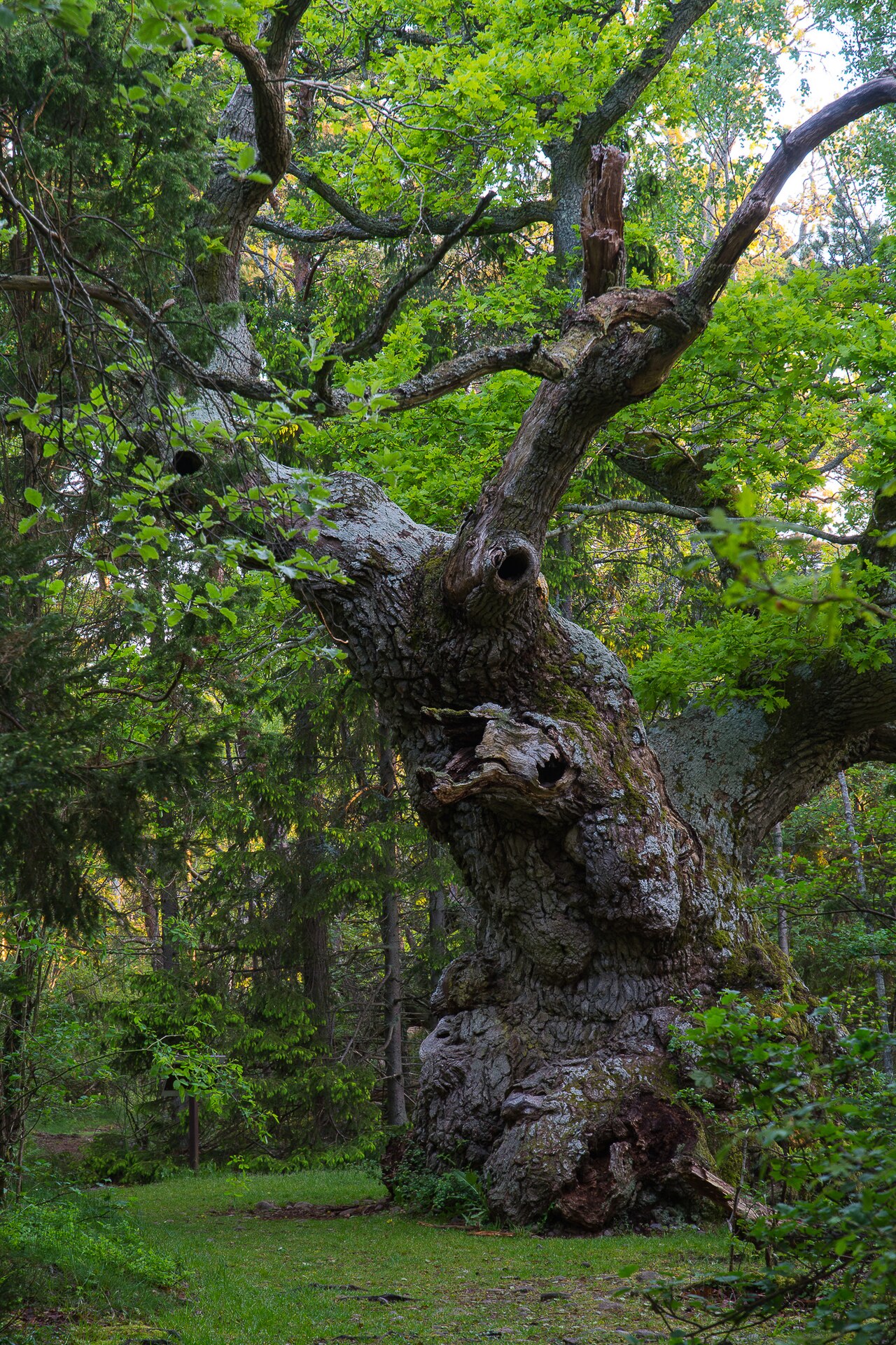
At the far end of the northern cape lies Trollskogen, the Troll Forest, an old forest of gnarled oaks and pines twisted by the wind. A trail winds through the forest and down to the shore. The visitor centre by the car park tells the forest's story.
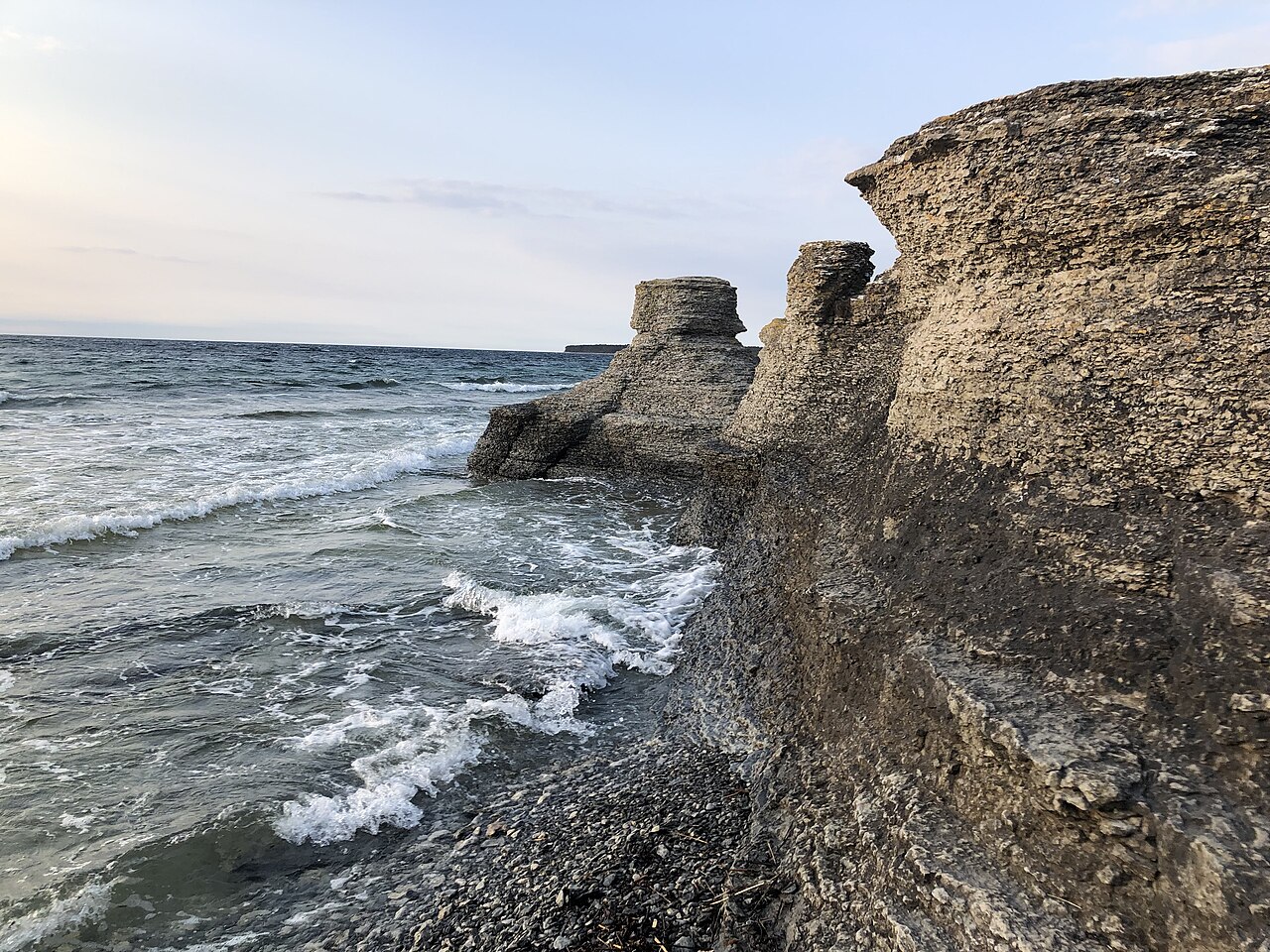
On the west coast north of Borgholm stand sea stacks, pillars of limestone shaped by the sea over thousands of years. They're smaller than the stacks on Gotland but well worth a stop, and in the evening sun they glow warmly over the Kalmar Strait.
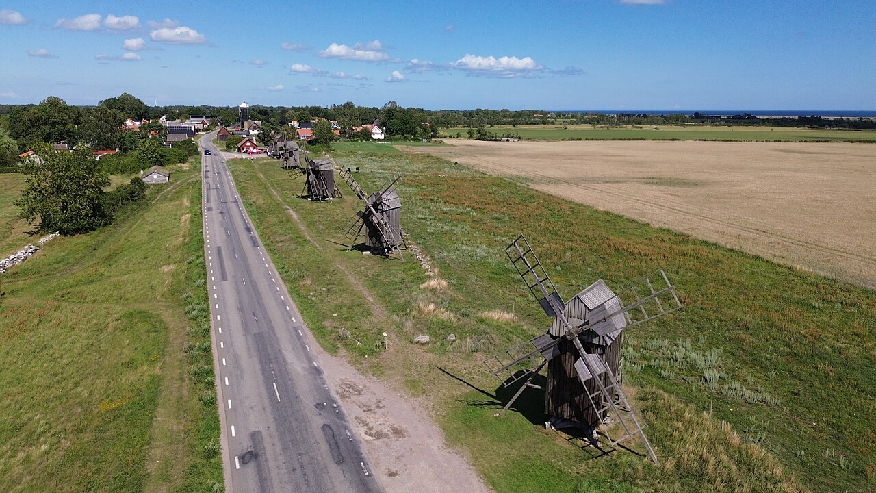
Windmills are the symbol of Öland, and the island was once covered with them. In Lerkaka on the east side, a row of post mills stands along the road, visible from far across the fields.
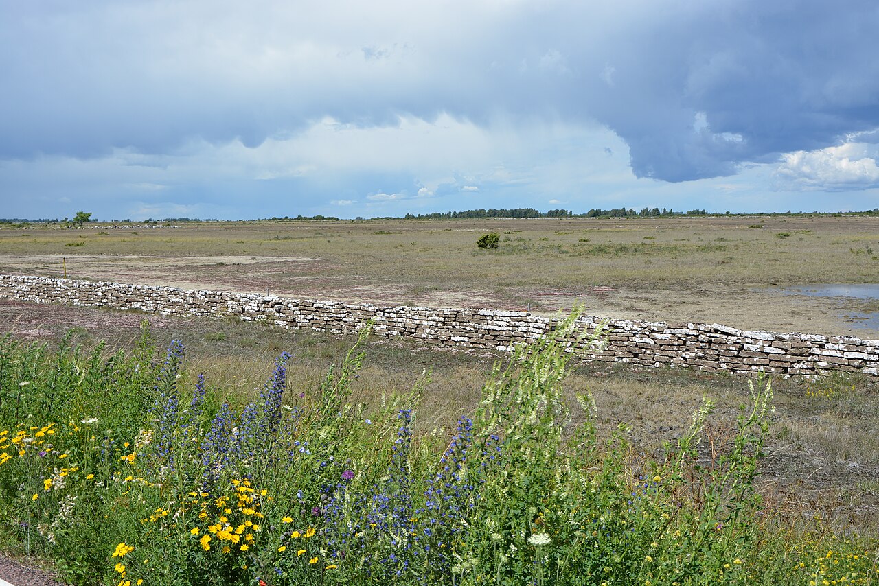
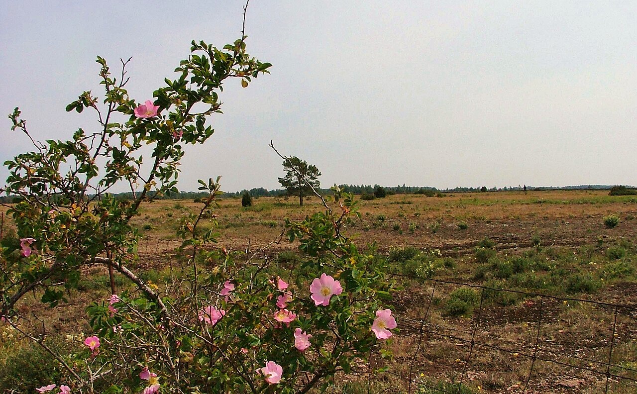
The great limestone plain of southern Öland is one of Europe's largest alvars, with a thin layer of soil where only hardy plants survive. In early summer orchids and rare plants flower, and cattle graze as they have for thousands of years. Together with the villages and stone walls, the alvar has been on UNESCO's World Heritage List since 2000 as the Agricultural Landscape of Southern Öland.
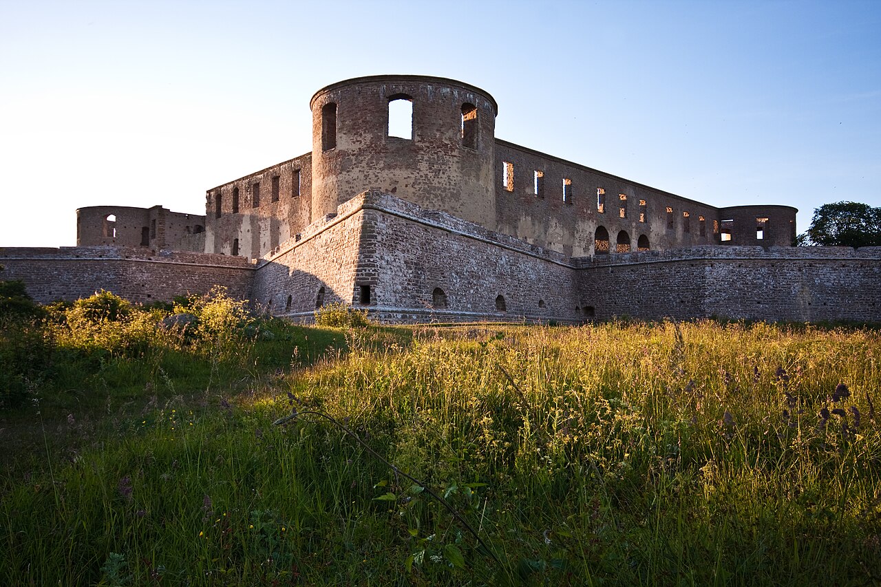
The castle dates back to the Middle Ages and was rebuilt as a Baroque palace in the 17th century, with Nicodemus Tessin the Elder as architect. It burned in 1806 and has stood as a ruin ever since, its mighty walls visible from far away. Walk among the walls and up onto the ramparts for the view over the Kalmar Strait. In summer, concerts are held in the ruins. Things to do in Borgholm
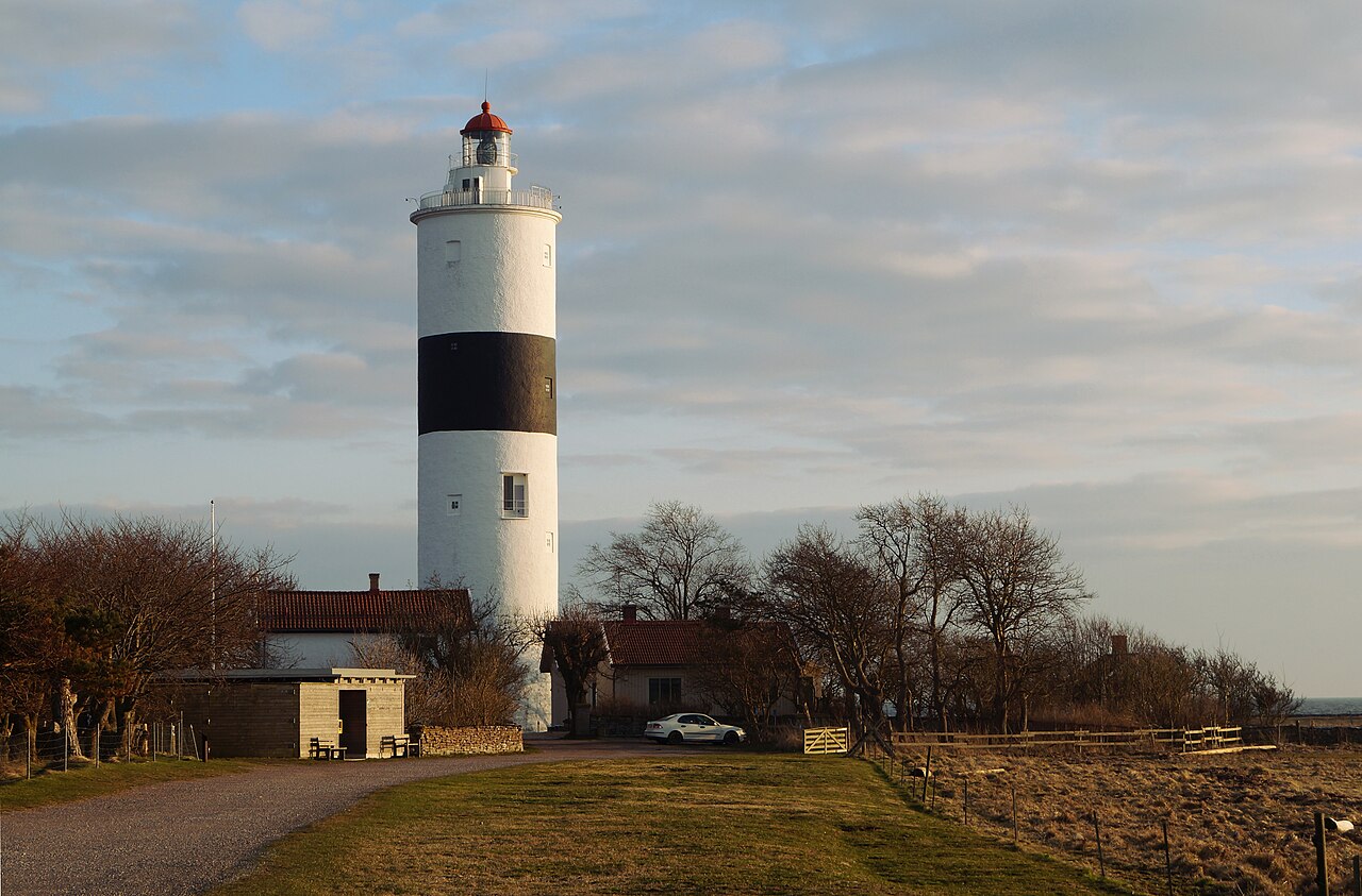
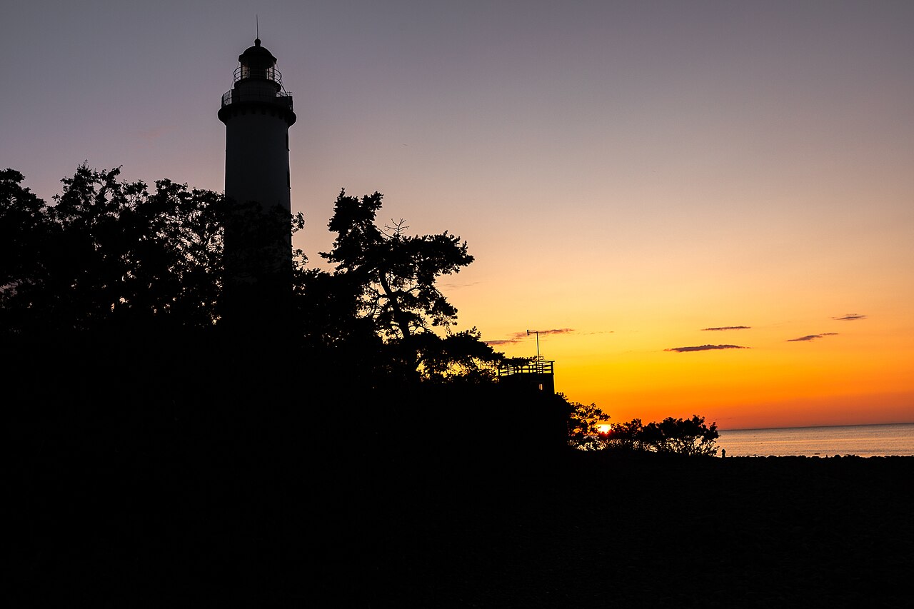
At the very south stands Långe Jan, Sweden's tallest lighthouse at just over 41 metres, first lit in 1785 and built with stones from a medieval chapel. Climb to the top for the view over the cape, where the Ottenby bird observatory rings migrating birds. The Naturum Ottenby visitor centre next door tells the story of the birds and the landscape.
Southern Öland is the World Heritage area, with Stora Alvaret, old villages lined with stone walls, Eketorp and Ottenby at the far south. Färjestaden by the bridge is the gateway to the island, with shops and services. Central Öland has Borgholm, the island's only town, with its castle ruins and Solliden, and the seaside village of Köpingsvik just north of town. Northern Öland is more wooded and thinly populated, with Böda, Byxelkrok, Trollskogen and the Långe Erik lighthouse on the northern cape.
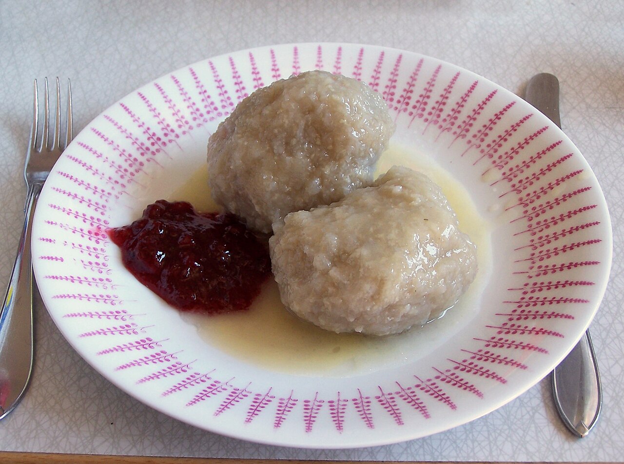
Öland's kroppkakor, potato dumplings filled with pork, are made with raw grated potato and turn out greyer than those from the mainland. They're served with melted butter and lingonberries. Lufsa is an oven-baked pancake with pork, and Öland's brown beans have been grown here for a long time. In summer farm shops sell vegetables, honey and smoked fish, and during the Harvest Festival the farms open their doors to visitors. Try fish in one of the small harbours along the coast.
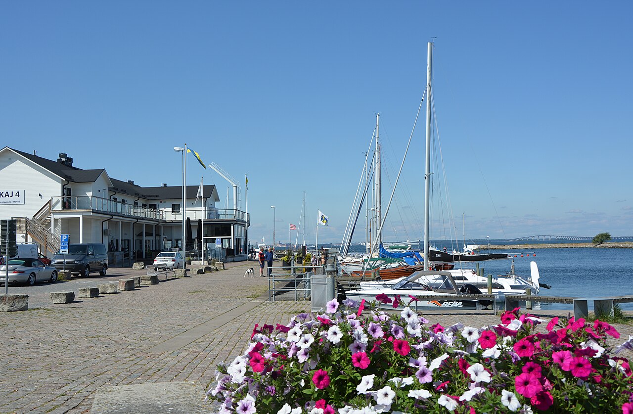
A car is the easiest way to get around, as distances are long and buses are infrequent outside summer. Kalmar länstrafik (KLT) runs buses from Kalmar across the bridge and along the island, and you buy tickets in the KLT app. Cycling across the Öland Bridge isn't allowed, but on the island a bike is perfect: the landscape is flat, and you can rent bikes in places such as Borgholm and Färjestaden.
The KLT app sells bus tickets across Kalmar County. Naturkartan shows hiking trails, nature reserves and ancient forts on the island. Check opening hours and events with the Öland tourist office, especially outside high season, when many places have limited hours.

Sweden is almost cashless, and cards or mobile payment work nearly everywhere. Outside high season many restaurants, cafés and sights are closed or have shorter hours, so check before you go. The limestone plain and many coastal meadows are nature reserves, where you should stay on the paths and leave the orchids alone. Close the gates in the stone walls behind you, as animals graze the land. It's often windy, even when the sun is shining, so bring a windproof jacket.

Drive down to the southern cape early on a morning in May or September, when the birds are migrating. Walk on the limestone plain in May and June, when the orchids are in flower. Watch the sunset over the Kalmar Strait from the west coast, for example at the Byrum sea stacks. Visit the Harvest Festival at the end of September and follow the signs to the farms. Stay north of Borgholm if you want to swim, and further south if you want to see the World Heritage landscape.