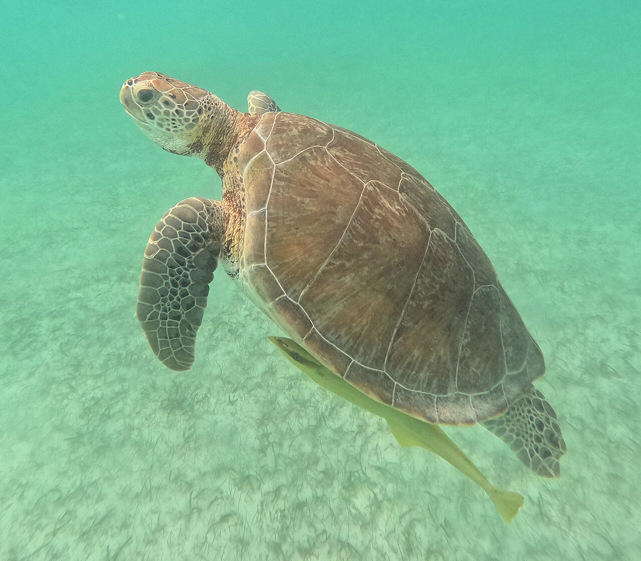
Snorkel with turtles in Akumal
In the bay at Akumal, just over half an hour south, sea turtles graze on the seagrass. In the turtle zone you snorkel with a guide and a life jacket.
See tours and pricesThe heart of the Riviera Maya · Mexico
Your guide to Playa del Carmen
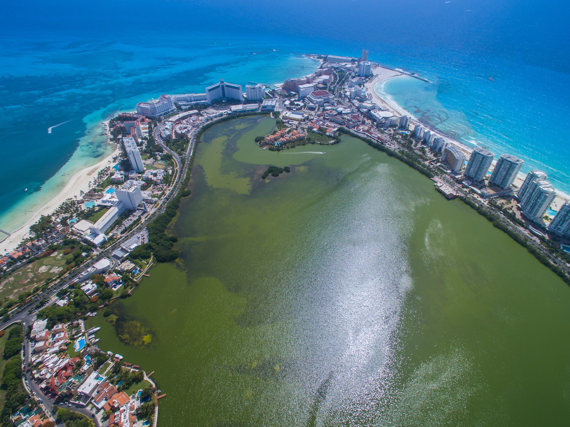
Only a few decades ago, Playa del Carmen was a small fishing village on the Caribbean Sea. Today it is one of Mexico's fastest-growing cities and a good base for exploring the Riviera Maya, the stretch of coast south of Cancún on the Yucatán Peninsula. White sandy beaches and turquoise water await, and the island of Cozumel is just a short ferry ride off the coast.
Life in town revolves around Quinta Avenida, a long pedestrian street running parallel to the beach. It's lined with restaurants, bars, shops and small hotels, and in the evening the street fills with people. At Parque Fundadores, where the pedestrian street begins, you can watch the voladores perform their traditional ceremony, spinning through the air as they lower themselves on ropes from a tall pole.
What makes Playa del Carmen special is everything around it. On the coast lies the Maya city of Tulum, while Cobá is a little way inland. Chichén Itzá can be reached on a longer day trip. In the jungle are cenotes, natural water-filled caves and sinkholes where you can swim in clear fresh water. Offshore runs the Mesoamerican Barrier Reef, the second-largest coral reef in the world, home to turtles and colourful fish.
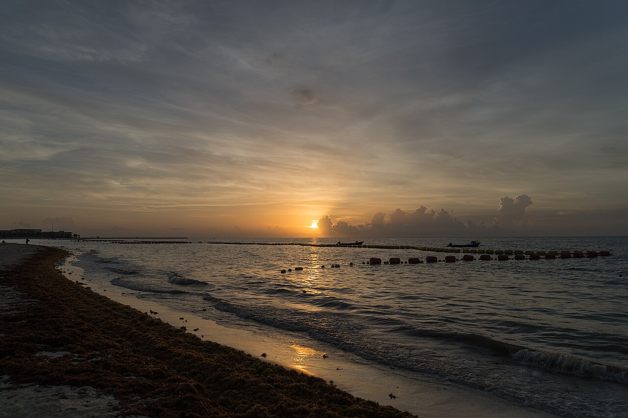
For travellers from northern Europe, Playa del Carmen is above all a winter destination. The dry season from December to April brings plenty of sunshine and temperatures around 30 °C, just when it is darkest back home. Summer is hotter and more humid, with a risk of tropical storms and hurricanes. Large amounts of sargassum seaweed can also drift in and settle on the beaches.
Things to do
In the bay at Akumal, just over half an hour south, sea turtles graze on the seagrass. In the turtle zone you snorkel with a guide and a life jacket.
See tours and prices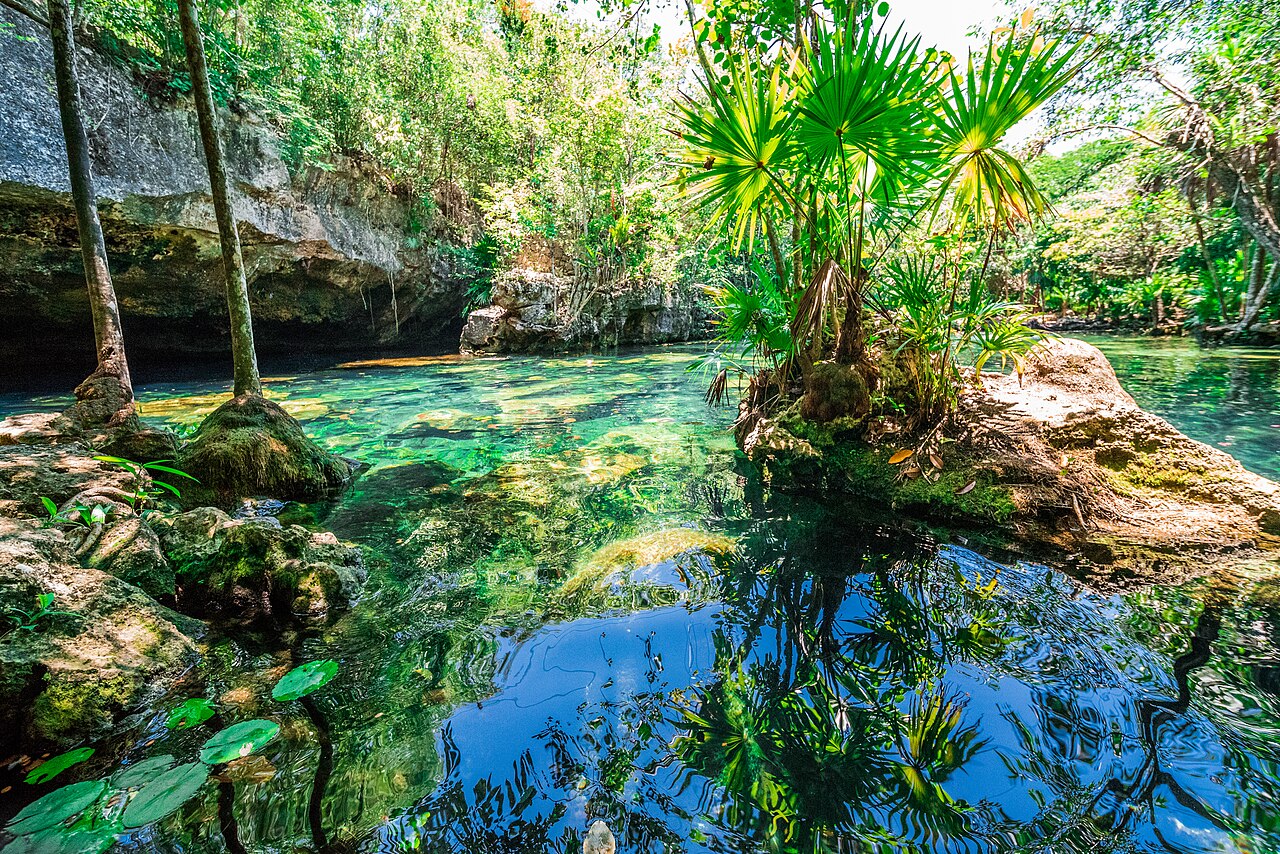
An open cenote with clear fresh water, fish and rocks to jump from, just south of town. Come early, before the tour groups arrive.
See tours and prices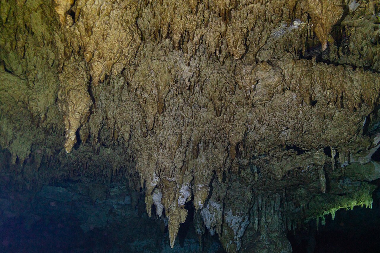
Two connected cenotes north of Tulum, where you snorkel among stalactites in caves with crystal-clear water. Divers can go further in.
See tours and pricesPack right
Best December–April
24–32 °CWarm all year round. The dry season from December to April is the sunniest and most comfortable. Summer is hot and humid with heavy showers, and the hurricane season runs from June to November.
Current currency
Mexican peso
1 MXN to SEKThe rate is updated every hour. Always check the current rate before you travel.
Compare hotels and apartments on the map, with current prices.
The map loads from Stay22 only when you click. Stay22 may then set cookies and collect information about your browser. Privacy
Plan your trip
The nearest major airport is Cancún International Airport (CUN), just over 50 kilometres to the north, with direct flights from the US, Canada and several European cities. To the south is also the new Tulum airport (TQO), about an hour away.
ADO buses run from the Cancún terminals straight to Playa del Carmen in just over an hour. The Tren Maya train stops at the airport and at a station on the western edge of town, a good way from the centre. Taxis and pre-booked transfers are also available.
Check current departures and prices before you travel.

The centre around Quinta Avenida is practical, with the beach, restaurants and the Cozumel ferry within walking distance. Around Calle 12 it can get noisy late at night, so choose a hotel a little further away if you want a quiet night's sleep.
Playacar, south of the centre, is a gated area with large all-inclusive hotels, a golf course and quiet beaches. The northern part of town, around Punta Esmeralda, is calmer and has more apartments. Large resorts line the coast towards Tulum. Book well ahead for Christmas, New Year and Easter.
The big and the small
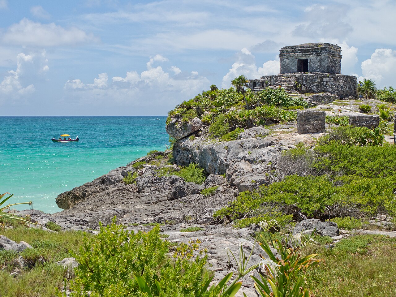
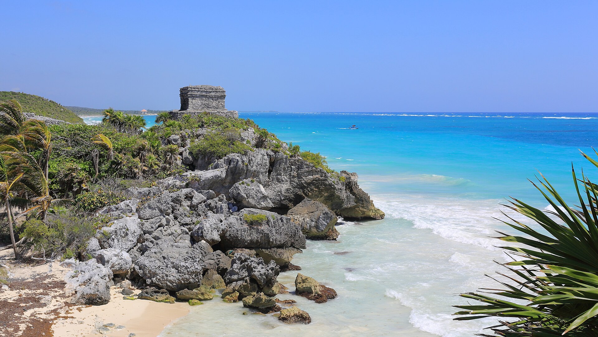
The Maya city of Tulum stands on a cliff above the Caribbean, about an hour to the south. It was one of the last cities the Maya built and is enclosed by a wall on three sides. Below the cliff is a small beach. Arrive when the site opens, before the heat and the coaches, and expect entrance fees for both the ruins and the national park.
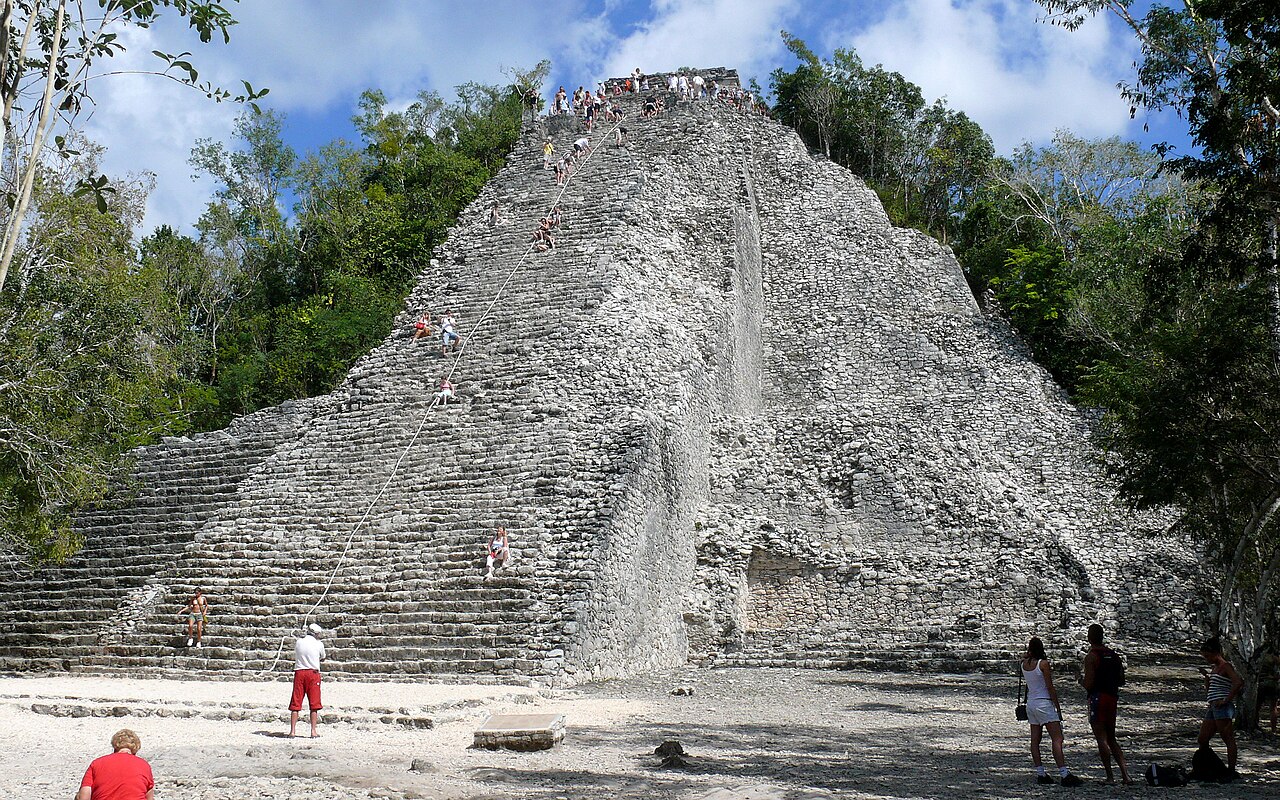
The large Maya city lies in the jungle between two lakes, inland from Tulum. Straight stone roads, sacbé, link temples and ball courts, and you get around on foot, by rental bike or by bicycle taxi. The Nohoch Mul pyramid is one of the tallest on the Yucatán Peninsula. The rules on climbing it have changed several times, so check what applies.
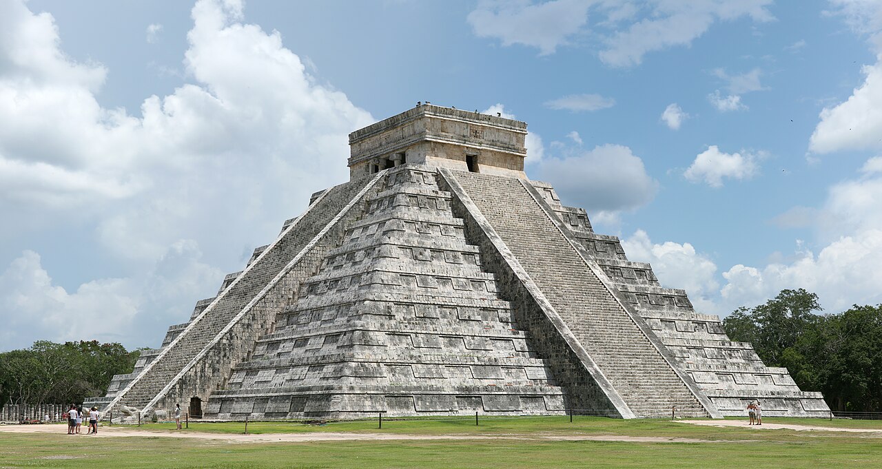
Yucatán's best-known Maya city is a World Heritage Site, centred on the El Castillo pyramid, dedicated to the feathered serpent god Kukulcán. At the spring and autumn equinoxes, shadows form a serpent winding down the staircase. The journey takes about three hours each way, so leave early or stay the night nearby.
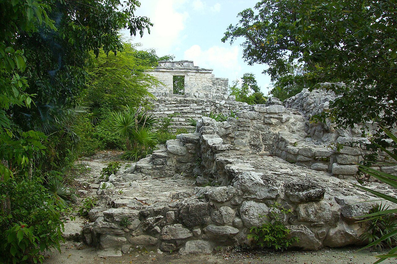
The large eco-park just south of town has underground rivers to swim in, animals, Maya ruins and beaches. In the evening, a big show presents Mexico's history, music and traditions. Admission is expensive, so plan for a whole day and book ahead.
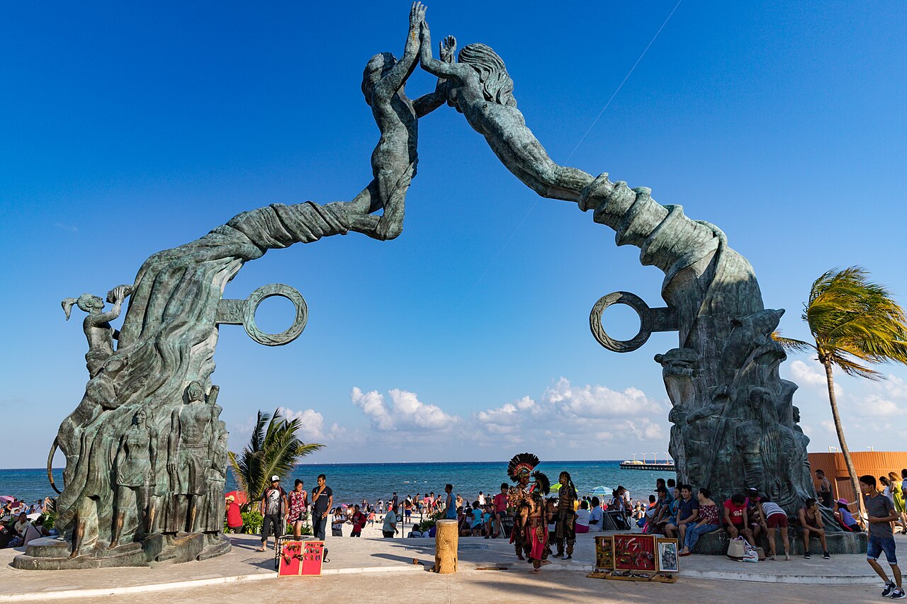
The square by the beach where Quinta Avenida begins is the town's meeting place, with the Portal Maya bronze sculpture facing the sea. Several times a day, voladores perform, climbing a tall pole and spinning down hanging from ropes. The ritual comes from Veracruz and is on UNESCO's list of intangible cultural heritage.
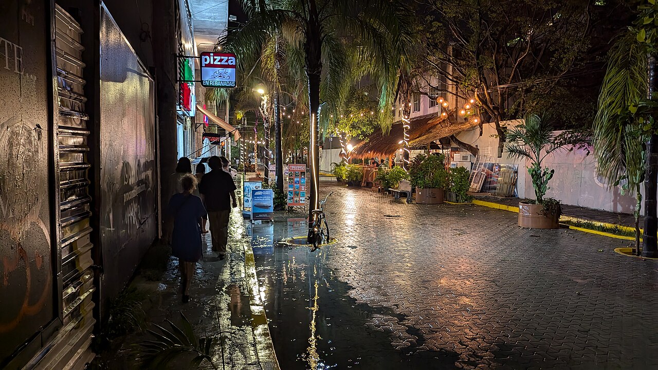
The Quinta Avenida pedestrian street, Fifth Avenue, runs for several kilometres parallel to the beach, one block up from the water. Restaurants, cafés, shops and bars stand close together, and the side streets lead down to the sea. The street is liveliest in the evening, and the town's nightclubs are around Calle 12.
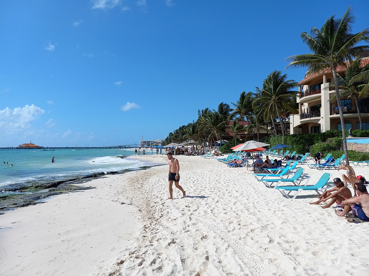
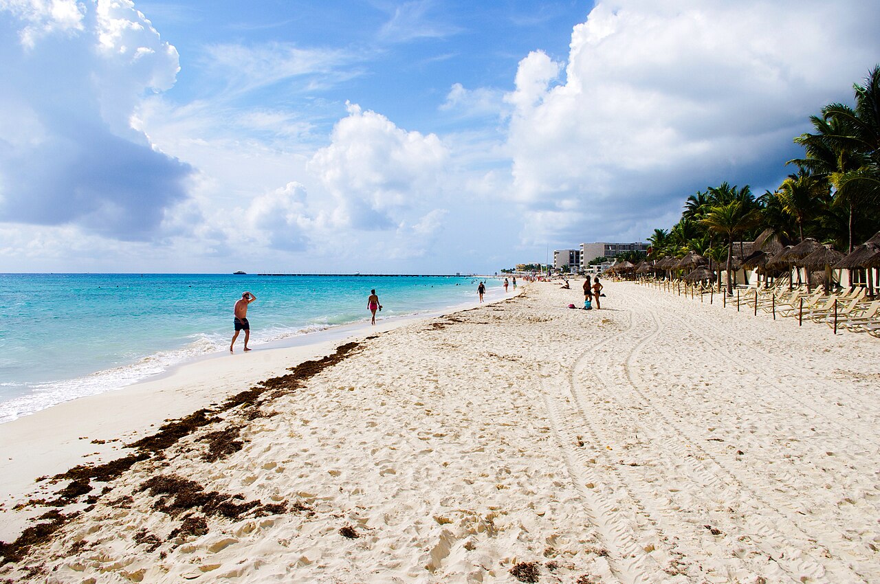
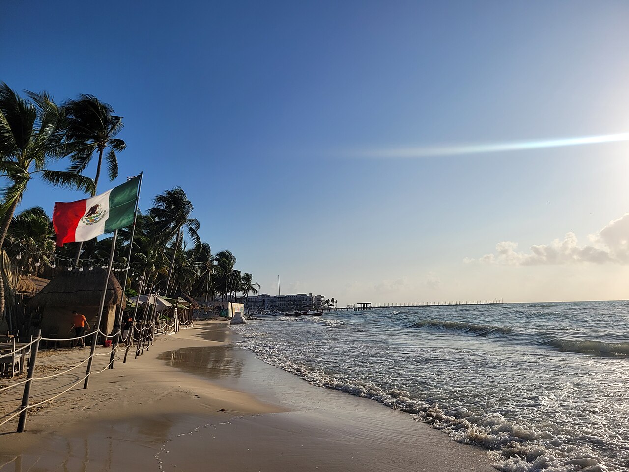
The beach runs the whole length of town, with white sand, palm trees and clear turquoise water. Around Parque Fundadores it's busy, and to the north is Playa Mamitas, with beach clubs and music. For quieter beaches, head a little way along the coast. Sargassum seaweed can wash ashore in summer, so check the situation before you go.
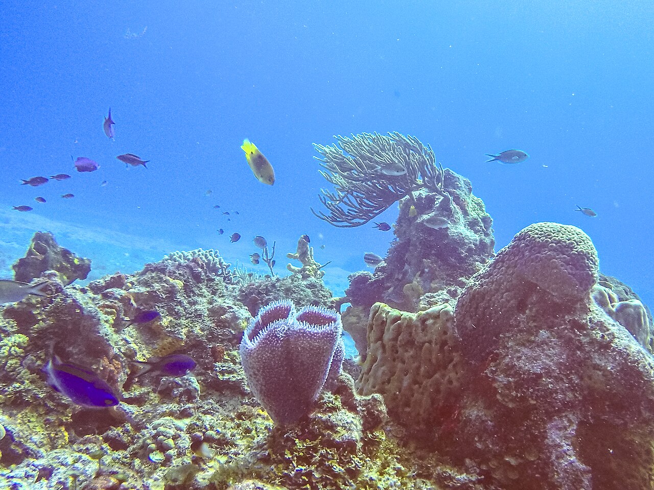
Mexico's largest Caribbean island is a 35–45 minute ferry ride from the pier in Playa del Carmen. The coral reefs around the island are a national park and among the world's best places for diving and snorkelling. Rent a car or scooter and drive around the island, where the east side is wild, windy and almost undeveloped.
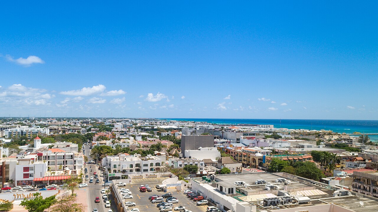
Centro is the old core between the beach and Avenida 30, with Quinta Avenida, Parque Fundadores and the ferry pier. The further north you go along the pedestrian street, the quieter and more residential it gets. Avenida 30, a few blocks in from the sea, is where locals shop, with cheaper restaurants and markets. Playacar in the south has hotels, villas and small Maya ruins among the trees, and further north are Coco Beach and Punta Esmeralda, with apartment hotels and quieter beaches.
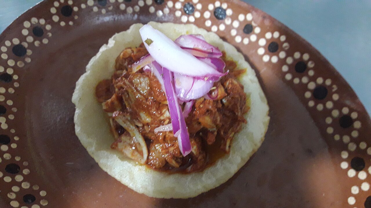
The Yucatán Peninsula has its own cuisine. Try cochinita pibil, pork slow-cooked in achiote and banana leaves, sopa de lima, a chicken and lime soup, and the fried tortillas panuchos and salbutes. Tacos al pastor from a taquería are a must, and on the coast you eat ceviche and grilled fish. In the evening, marquesitas, crisp rolls filled with cheese and Nutella, are sold from carts in the parks. Restaurants along Quinta Avenida are pricier, and a few blocks inland towards Avenida 30 you eat both cheaper and more locally.
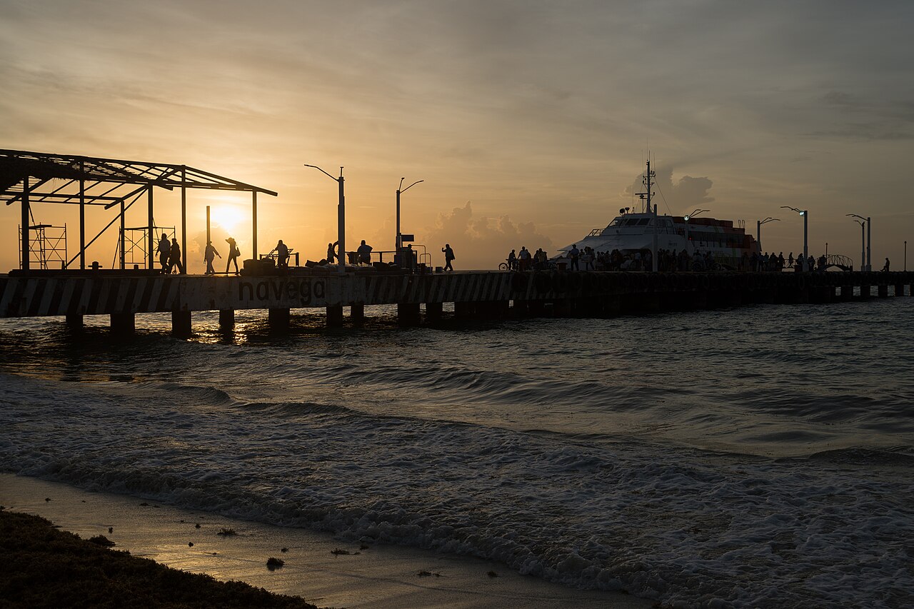
The centre is easy to explore on foot. Along the coast road to Cancún, Akumal and Tulum run colectivos, small minibuses that stop wherever you wave them down and are cheap. ADO buses leave from the terminal on Quinta Avenida for the airport and the towns around. Taxis have no meter, so agree the fare before you get in. For day trips to cenotes and ruins a rental car is convenient, and the ferries to Cozumel leave from the pier at Parque Fundadores.
With the ADO app you buy bus tickets and check departures, and Tren Maya tickets are sold on the train's own website. Many hotels, restaurants and tour operators reply fastest on WhatsApp. Download maps for offline use before excursions, since coverage can be weak in the jungle, and a translation app helps when English runs out.

Check the entry rules for your nationality before you travel; the border officer decides how long you may stay, so check the number of days in your passport. The state of Quintana Roo charges a tourist fee, Visitax, which you pay at visitax.gob.mx. The currency is the Mexican peso. Cards work in hotels and restaurants, but carry cash for colectivos, cenotes and small stalls. A tip of 10–15 per cent is expected in restaurants. Don't drink the tap water. The time zone is UTC−5 all year, with no daylight saving time.

Visit the ruins and the popular cenotes early in the morning, before the heat and the tour coaches. Many cenotes and parks require biodegradable sunscreen or none at all, so check before you put it on. Follow the sargassum reports in summer and choose your beach accordingly. With a rental car you can combine several cenotes and a Maya city in one day, and for Chichén Itzá it pays to stay the night nearby.